 Stay Incline
East Shore Trail · Walking guide
Three miles
to Sand Harbor.
From the pines above Highway 28 to the granite coves below it.
North to south
The first mile.
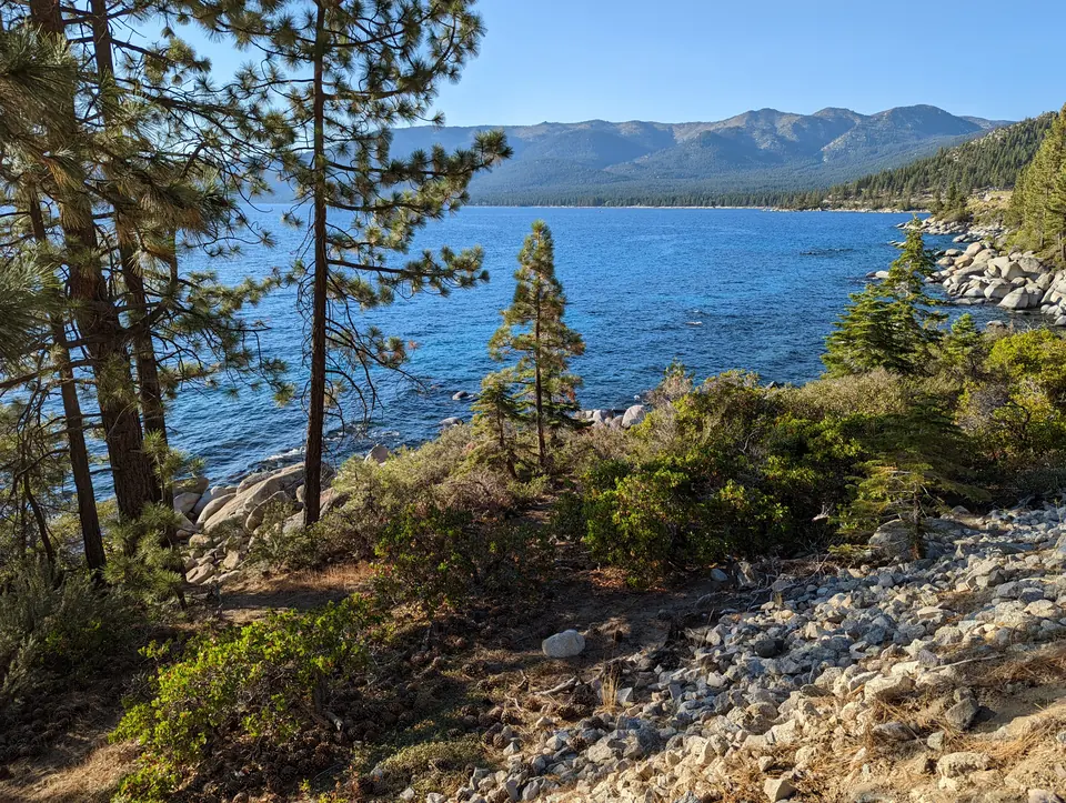
Start at Tunnel Creek on the mountain side of the highway. The steepest stretch comes first. The view opens across the water before the trail ducks under the road near Hidden Beach.
Trailhead, parking and access ↗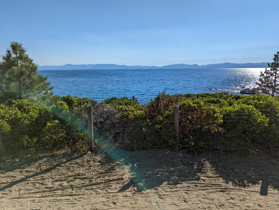
Hidden Beach
The painted crossing.
Near Hidden Beach, the trail crosses underneath Highway 28. In the Tahoe Fund’s short film, watch artists Tyler Rivenbark and Frida Ticehurst-Rivenbark paint the tunnel mural. Beyond it are two miles of lakeside trail.
Watch the Tahoe Fund film · 2:52 ↗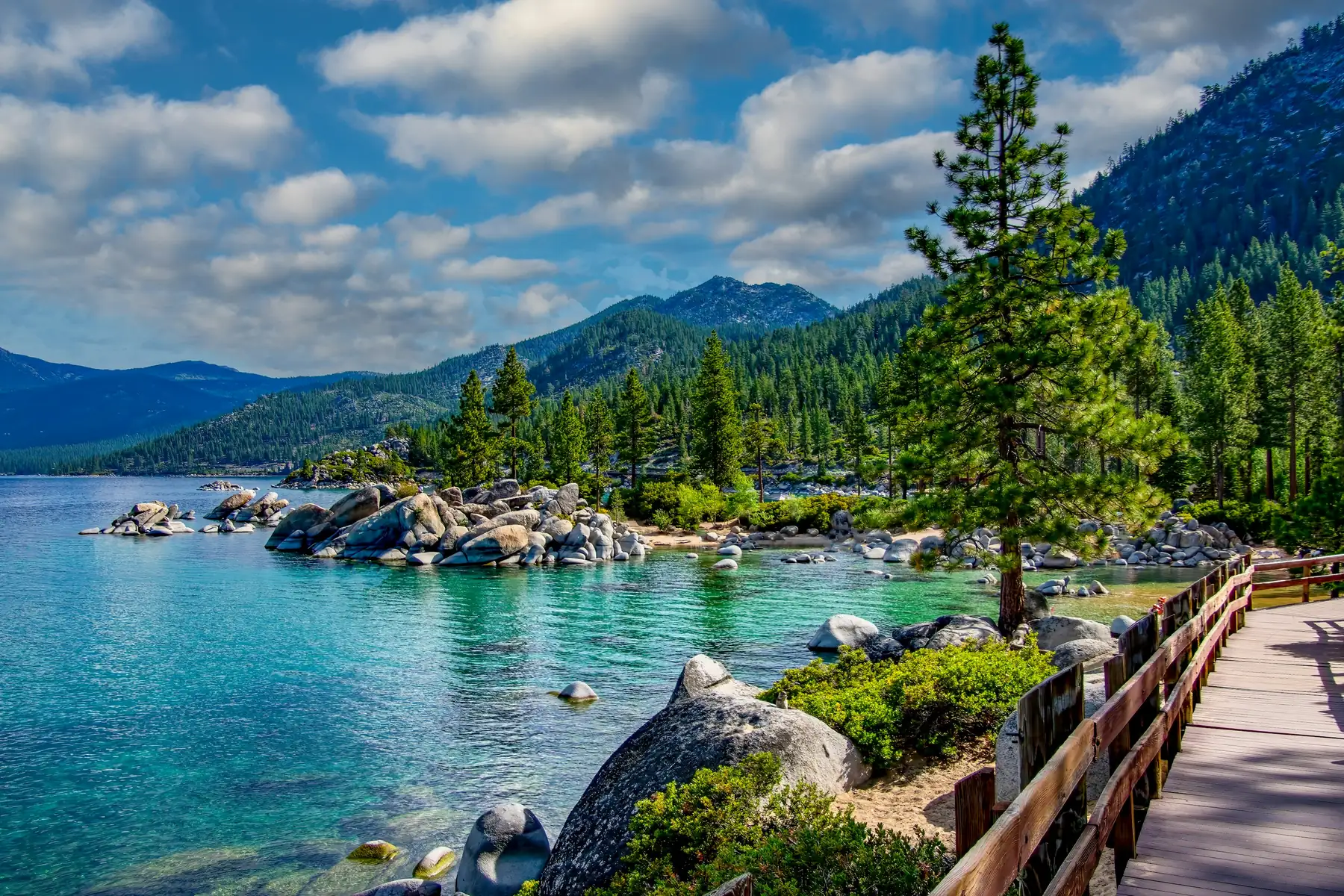
South end
Sand Harbor.
Bridges carry the trail along the coves to the park. Check current park entry and reservation details before setting out.
Sand Harbor visitor information ↗Photographs and sources
The approach and Hidden Beach photographs are by Blake Everett Carroll, CC BY-SA 4.0. Sand Harbor is by Stephen Crane under the Unsplash License. Images are cropped to fit. Originals and licenses →